 |
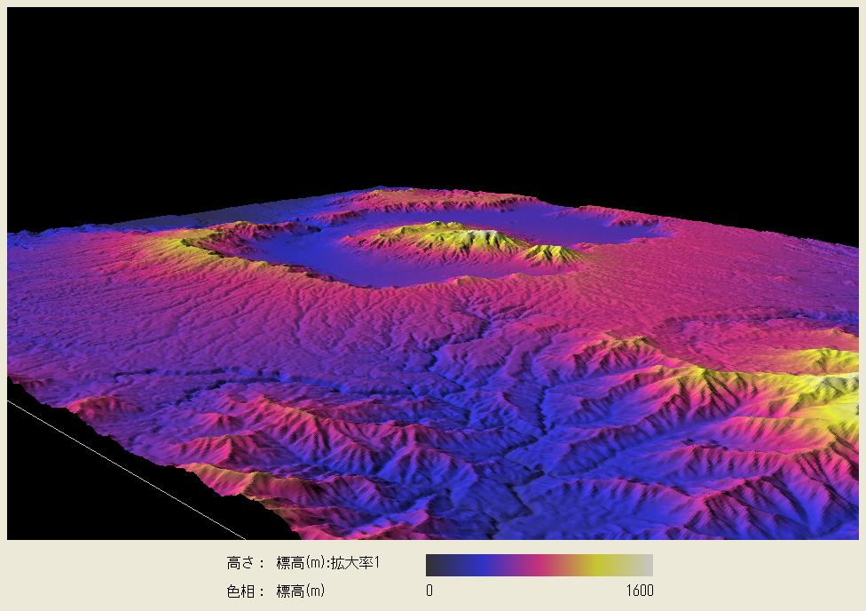
| It would look like a lunar landscape. The geomorphological model is colored according to the elevation in order to highlight the feature of the caldera. |
 |
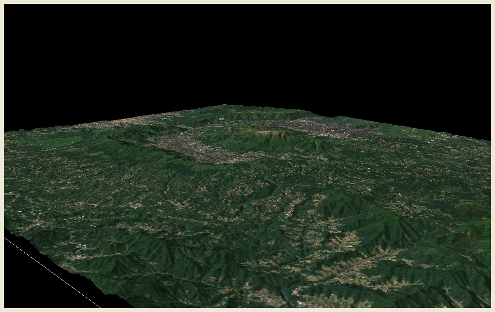
Topographic model with LANDSAT true color image (composite of bands 1, 2 and 3) acquired on May 25, 2002. We can see that within the caldera, land use of rice paddy is dominant while pasture and orchard strech over the skirt outside the caldera. |