 |
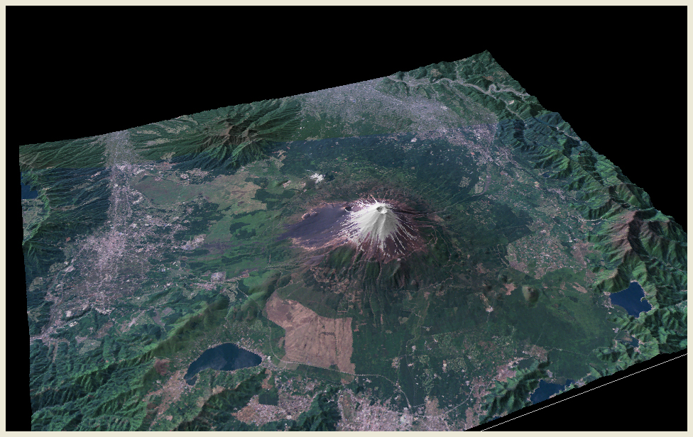
| Mt. Fuji viewed from the northeast. The eruption of Mt. Fuji in 864 was recorded precisely. During that eruption, a great amount of lava flew into the lake in the northwestern side of the mountain. The record tells that as the lava reached the lake, water boiled and the fish all died. The remain of outflow of the lava is known as Aokigahara forest. The topographic model is made using LANDSAT true color images (composite of bands 1, 2 and 3) acquired on May 18, 1995 and April 23, 1992. |
 |
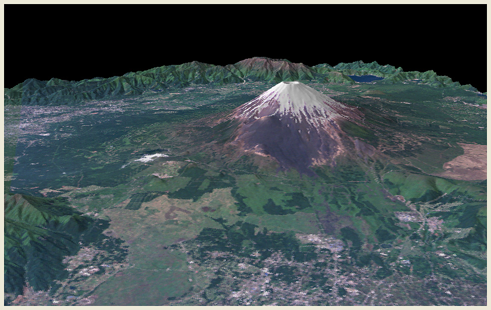
View from the southwestern side. The crater just below the peak was formed by the last eruption in 1707. That eruption ejected the largest amount of volcanic products among the recorded eruptions throughout the history, and let a great amount of ash fall over the city of Edo (modern Tokyo). |