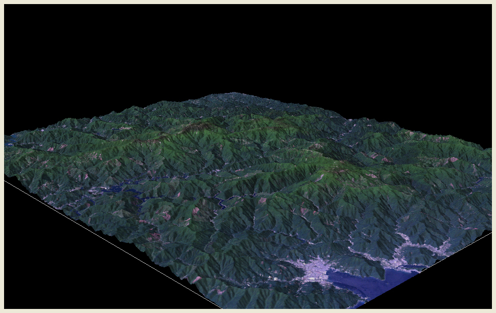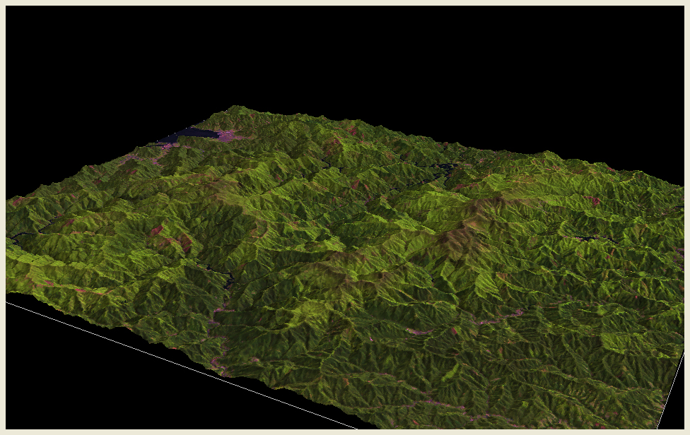
View of Mt. Ômine from the southeast. Mt. Ômine is the sacred place of the Shugendô and form part of the Sacred Sites and Pilgrimage Routes in the Kii Mountain Range which was listed in the World Heritage of UNESCO in 2004. We can see on this side Owase City and Owase Bay. The covered area has the largest amount of rainfall in Japan. The topographic model was made using LANDSAT true color image (composite of bands 1, 2 and 3) acquired on June 1, 1989.
