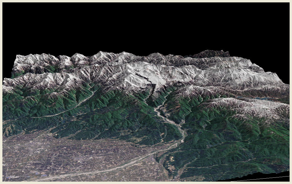
Mt. Tateyama and Jôganji River viewed from the west. We can look over the Toyama Plain on this side. The topographic model is made using LANDSAT true color images (composite of bands 1, 2 and 3) acquired on May 17, 2001.
 |
Mt. Tateyama and Jôganji River viewed from the west. We can look over the Toyama Plain on this side. The topographic model is made using LANDSAT true color images (composite of bands 1, 2 and 3) acquired on May 17, 2001. |
 |
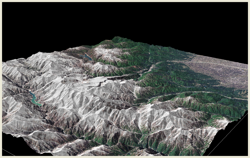
View from the northeast to enable to see the gorge of Kurobe River. We can observe the Kurobe Dam, of which construction (finished in 1961) is considered to be the landmark of the development era of postwar Japan. |