 |
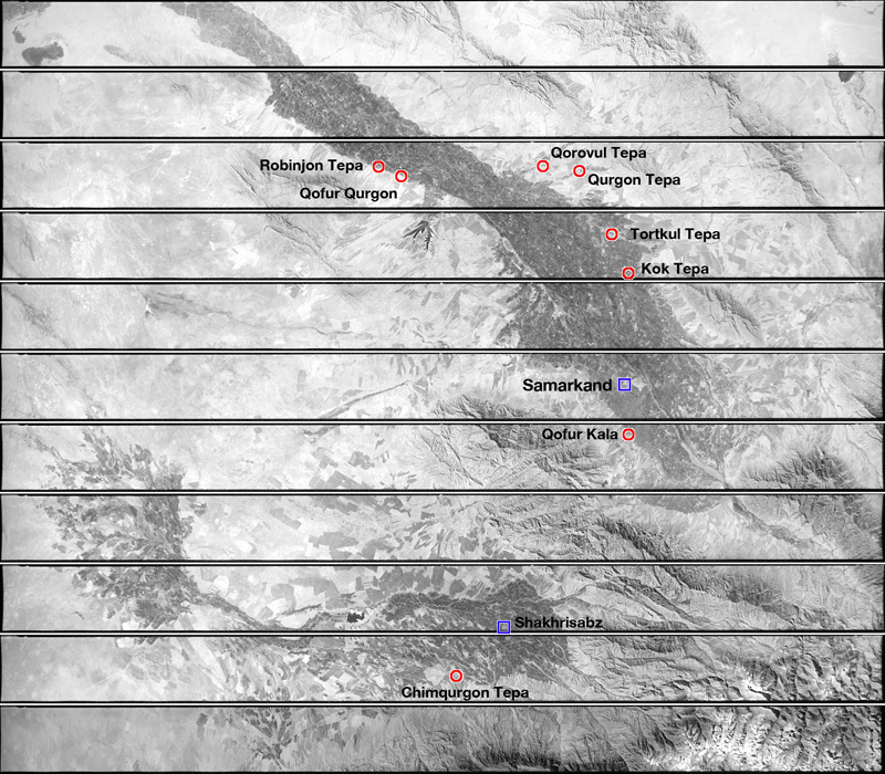
| CORONA satellite photographs over the study area of the Samarkand region, Uzbekistan taken on October 20, 1964 by the United States. Red circles in the photograph denotes archaeological sites we visited while blue squares show the location of major cities. |
CORONA satellite photographs are available from U. S. Geological Survey, EROS Data Center, Sioux Falls, SD, USA.