 |
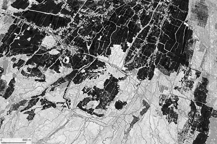
| CORONA satellite photograph over Gaochang city ruins in the Turpan Basin (29/Sep/1966). |
“The ruined town known as Idikut-shahri or as “Daskianus’ Town” which adjoins the large village of Kara-khoja, was the first scene of our excavations. It has long ago been identified as the site of Kao-chang or Khocho, as it is called in early Turkish, which was the Turfan capital during T’ang rule and subsequently under the Uigurs. Massive walls of stamped clay enclose here an area nearly a mile square, but of irregular shape, containing the ruins of very numerous structures, all built of sun-dried bricks or stamped clay.”
— Sir Aurel Stein (1933) On Ancient Central Asian Tracks, Ch. 17
The city of Gaochang was located in the middle of the fluvial fan of Karakhoja. The satellite photograph shows it had triple city walls. The remarkable feature at the southwest corner are ruins of a Buddhist temple. Just outside of the east wall, we can see a line of maintenance wells of a karez (underground irrigation canal) peculiar to this region.
CORONA satellite photographs are available from U. S. Geological Survey, EROS Data Center, Sioux Falls, SD, USA.