 |
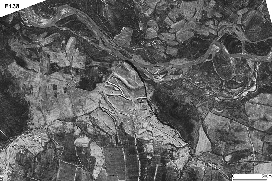
| CORONA Satellite Photograph over Dabusia archaeological site (October 20, 1964). The city ruins are located at the tip of highland sticking out to Zerafshan river. There are a few trenches that insulate the city site. |
CORONA satellite photographs are available from U. S. Geological Survey, EROS Data Center, Sioux Falls, SD, USA.