 |
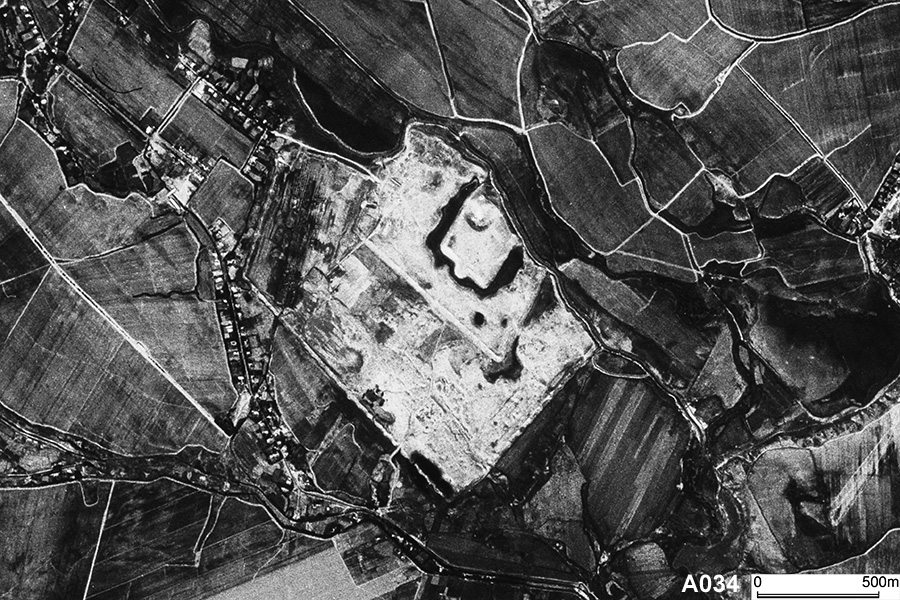
| CORONA Satellite Photograph over the Kanka city ruins (September 23, 1966). We can see the square shaped citadel and multiple enclosures (shakhristan). This site dates back to the Hellenistic Period (4th century BC). |
CORONA satellite photographs are available from U. S. Geological Survey, EROS Data Center, Sioux Falls, SD, USA.