 |
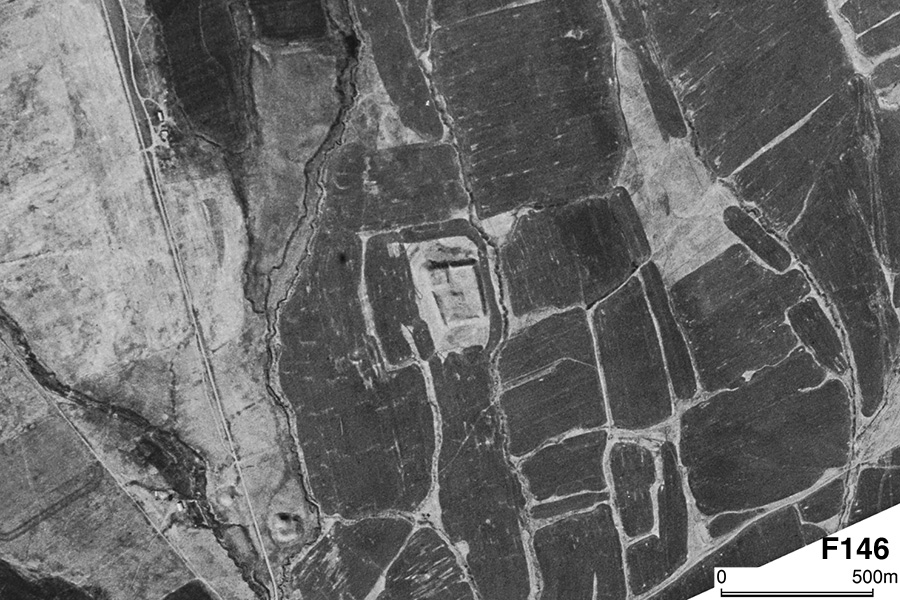
| CORONA Satellite Photograph over Yalpok Tepa (October 20, 1964). This site is a rectangular shaped mound having an enclosing moat and a citadel at the northwestern corner. We can see a small mound 860 meters southwest. |
CORONA satellite photographs are available from U. S. Geological Survey, EROS Data Center, Sioux Falls, SD, USA.