 |
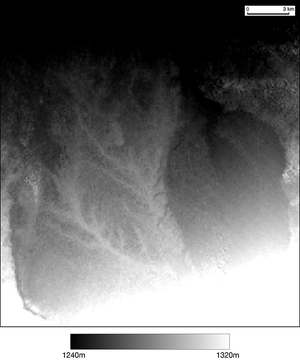
| Visualization of SRTM geomorphological data of the Qiemo Settlement Ruins. The ruins extend over the upper alluvial surface formed by the erosion of Cherchen River. You can see linear ridge features along the remains of ancient irrigation canals. We can hypothesize that these features had been formed by soil accumulation through irrigation for centuries. They seem to be precious cultural assets showing human impacts on the landform. |
SRTM Geomorphological data are provided by CGAIR-CSI