Noboru Ogata (Professor Emeritus, Kyoto University)
This webpage offers the records taken during my research trip in Hatay Province, Turkey, in November 2012. The research trip was made as a part of my research project on the Eurasian historical cities funded by the grant of the Ministry of Education. I visited the Hellenistic and Roman sites including Antioch, Daphne and Seleucia Pieria.
After Alexander’s Anabasis in the 4th century BCE, the Greeks formed the Hellenistic world in West Asia and Egypt, and built many colonial cities in that territory. Seleucid Empire had Antioch as its capital and Seleucia Pieria as the seaport. Many of the Hellenistic colonial cities were constructed based on the Greek style of planning having straight main street and rectangular grid-pattern of city blocks. This way of planning was attributed to Hippodamus, a Greek architect in the 5th century BCE, and continued to be used in the Roman period.
My research utilized geographic information such as satellite imagery and topographic data (digital elevation model : DEM). Newly available digital and graphical data are particularly useful in examining location and form of the ancient cities. The following description is based on the combination of analyses of geographic data and the on-site survey.
[References]
- R. Stillwell, ed. Antioch on the Orontes III: The Excavations 1937-1939, Princeton University Press, 1941.
- G. Downey, A History of Antioch in Syria, Princeton University Press, 1961.
- E. J. Owens, The City in the Greek and Roman World, Routledge, 1991.
- A. W. McNicoll with revisions and an additional chapter by N. P. Milner, Hellenistic Fortifications from the Aegean to the Euphrates, Oxford University Press, 1997.
- O. Erol and P. A. Pirazzoli ,‘Seleucia Pieria: an ancient harbour submitted to two successive uplifts,’ The International Journal of Nautical Archaeology, 21 (4), 1992, pp. 317 – 327.
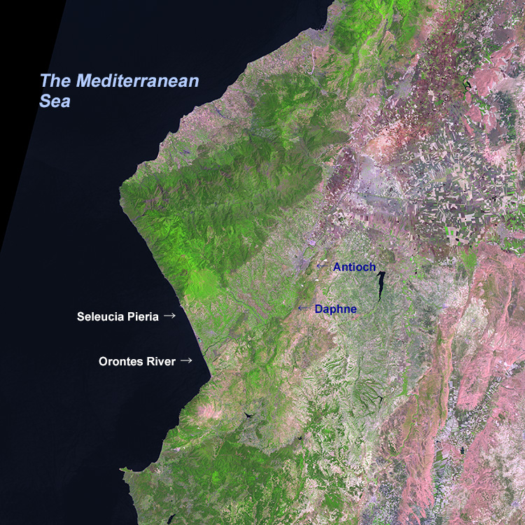 |
| Synoptic view over the study area using LANDSAT image (ETM+ : June 22, 2000) |
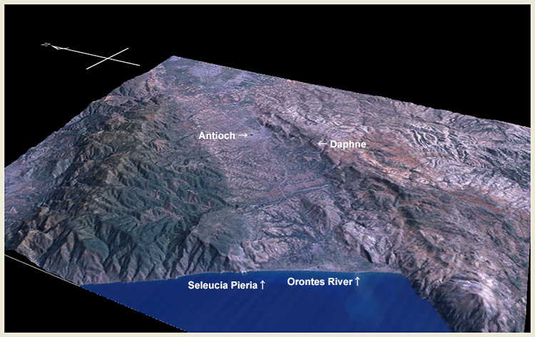 |
| Bird’s eye view over the area around Antioch, Daphne and Seleucia Pieria using SRTM digital elevation data. The elevation is exaggerated by two-fold. |
November 18 : Arrived at Hatay Airport via Istanbul. Stayed in Antioch.
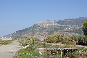
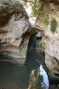
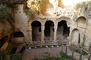
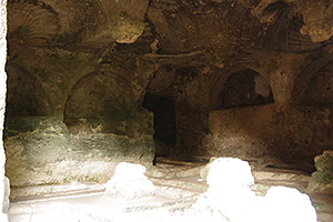
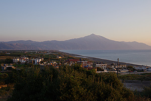
November 19 : Visited Seleucia Pieria.
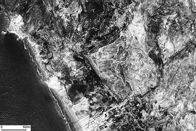 |
| CORONA satellite photograph over Seleucia Pieria taken on March 21, 1968. |
 |
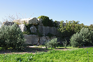 |
|
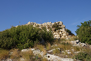
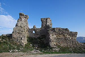
City wall near the harbor |
 |
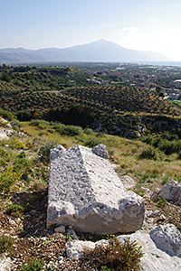 |
|
View from the southern hillside |
 |
 |
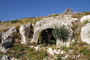
|
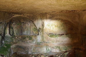
Inside the cave tomb |
 |
 |
|
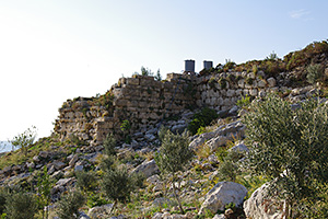
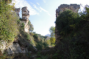
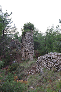
Southern part of the city wall |
 |
 |
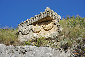
|
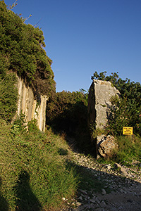
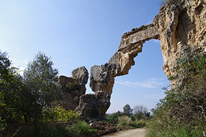
The upper part of ‘the tunnel’ |
 |
 |
|
Inside the cave tombs |
 |
 |
|
Setting sun in the Mediterranean |
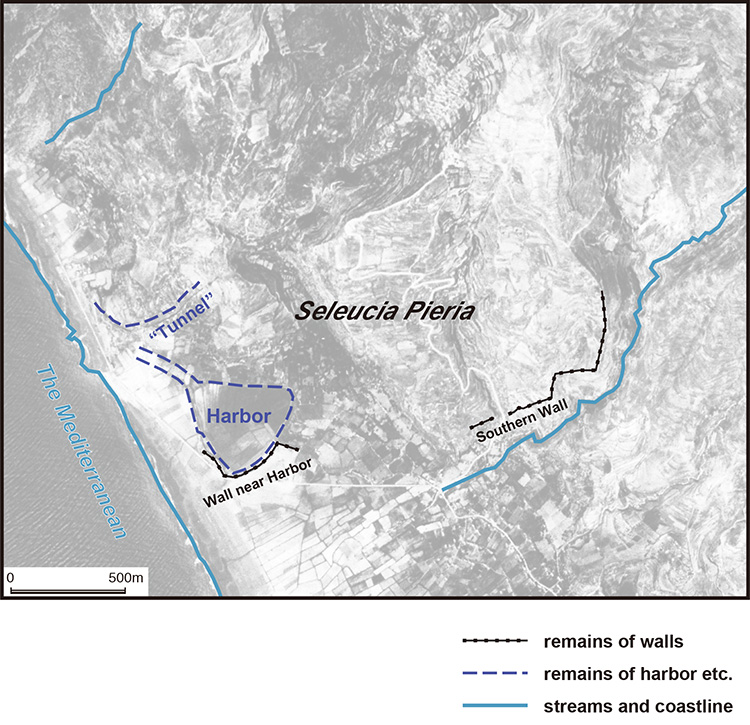 |
| Identified geographical features of city ruins of Seleucia Pieria. Background picture is CORONA satellite photograph taken on March 21, 1968. |
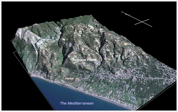 |
| Topographic model of Seleucia Pieria. This is based on the high resolution digital elevation data «AW3D». Satellite image draped on the model was taken by SPOT7 on November 13, 2015. |
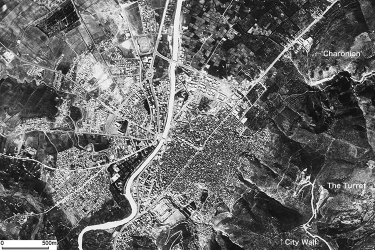
November 20 : In the morning, I visited Daphne, the southern suburb of Antioch, and saw the remains of aqueduct from Daphne. In the afternoon, I inspected the city wall of Antioch along the southeastern ridge.
 |
 |
|
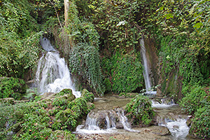
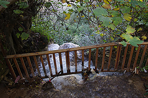
Springs of Daphne |
 |
 |
|
Remains of an Aqueduct crossing a gorge |
 |
 |
|
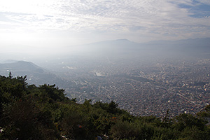
View of Antioch from Mt. Silpius |
 |
 |
|
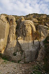
Carved rock image of ‘Charonion’ |
 |
| CORONA satellite photograph over Antioch on the Orontes taken on March 21, 1968. |
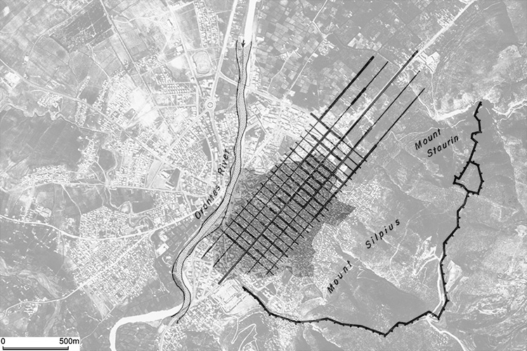 |
| Reconstructed ancient city plan of Antioch on the Orontes by J. Sauvaget (1934) based on the existing street pattern. He specified the size of a city block as 112 by 57 meters. The plan is overlaid on the above CORONA satellite photograph. |
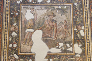
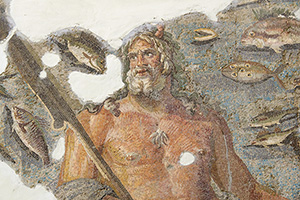
November 21 : In the morning, I visited Archaeological Museum of Antioch. In the afternoon, I inspected street patterns of Antioch, and then departed for Istanbul.
 |
 |
|
Oceanus depicted on a Roman mosaic picture |
 |
 |
|
Main street of ancient Antioch |
November 22, 23 : Surveyed in Istanbul. November 24 : Returned home.
Created by Noboru Ogata
Since October 2, 2016
![]()
![]()